Geography
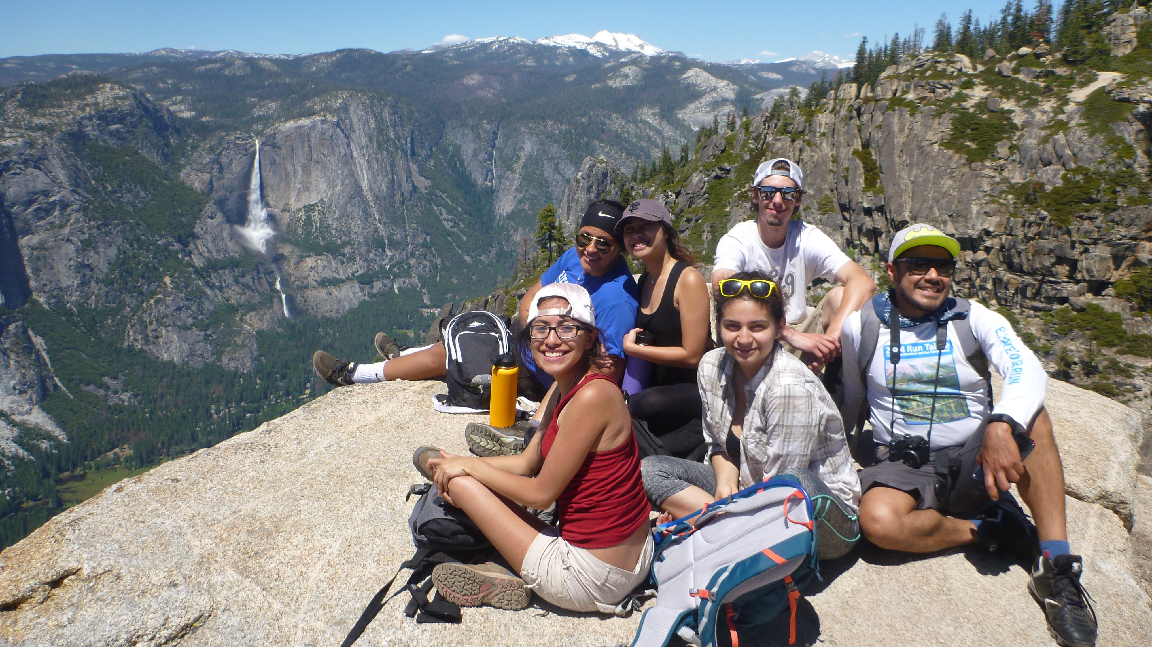

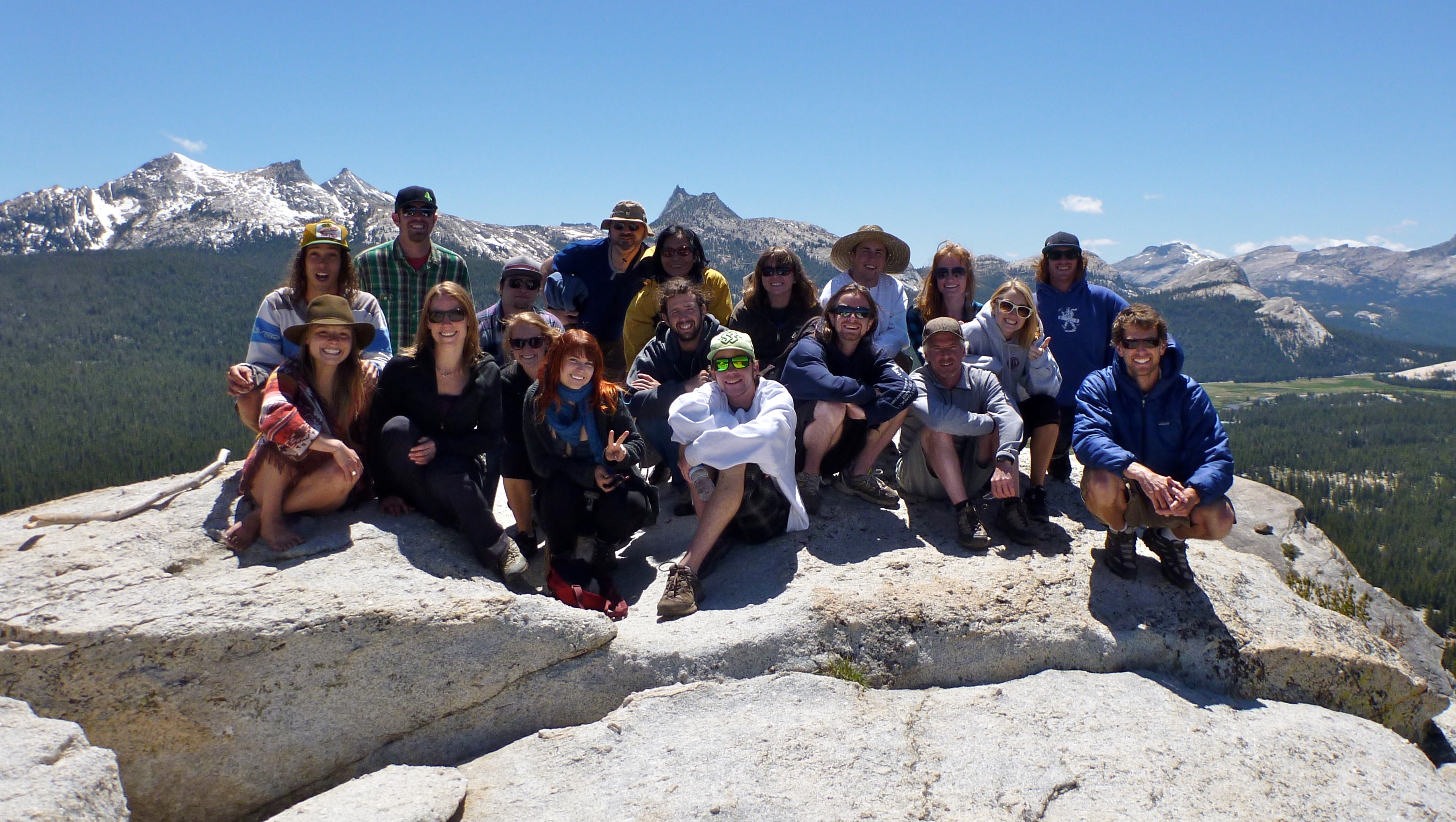
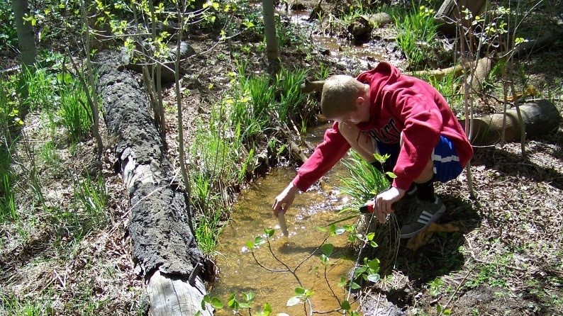
The Geography program at Lake Tahoe Community College provides students with general background knowledge through lecture, lab, and field-based courses. Students will gain a broader understanding of their environment and the interconnectedness between it and other disciplines. A transfer degree in Geography and a Certificate in GIS is available:
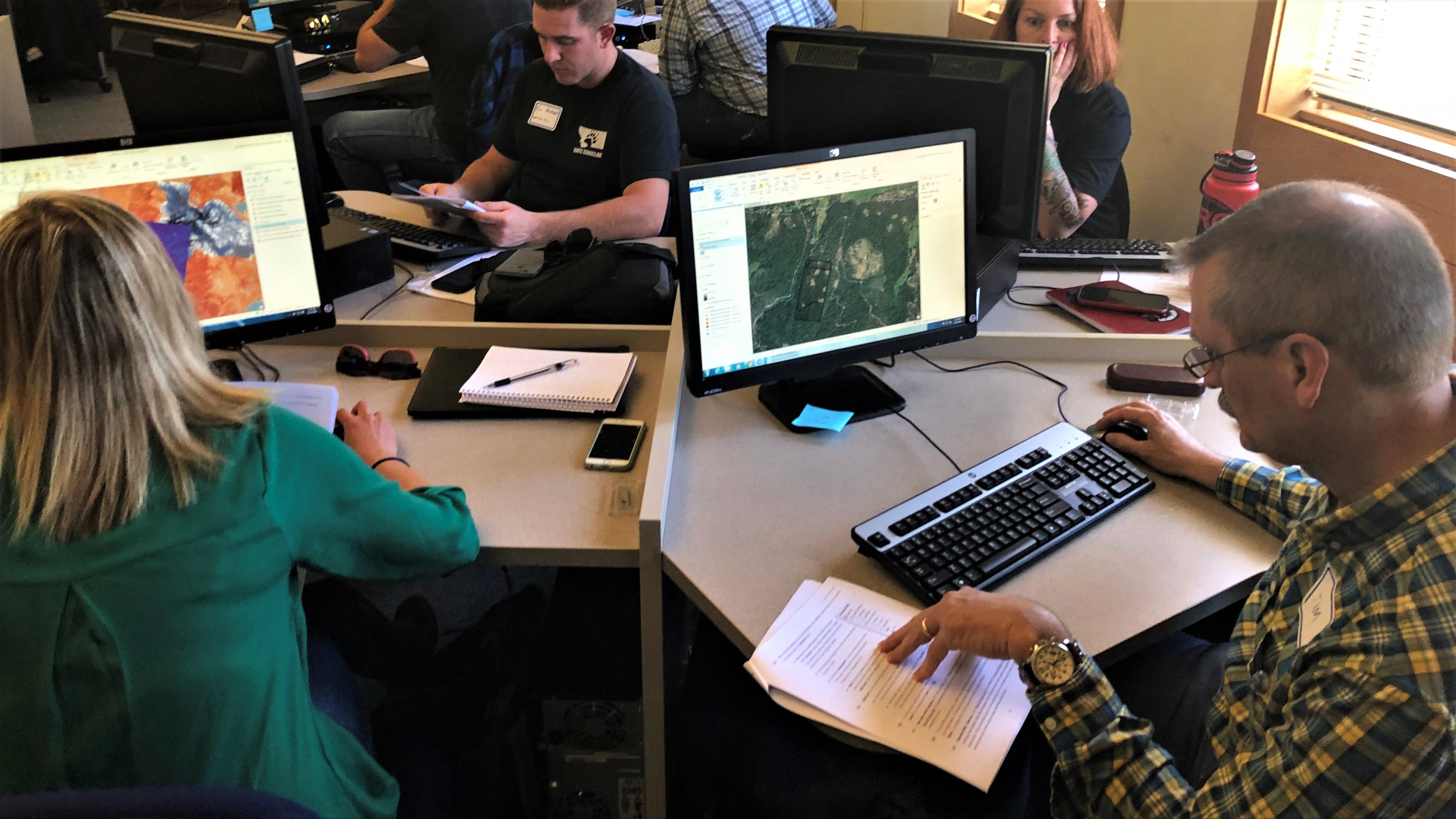
The GIS Certificate at LTCC helps students to gain applicable job skills. A geographic information system (GIS) is a powerful computer system that allows users to acquire, organize, store, and analyze information related to our physical and cultural environment. This graphical map-making software enables people to more easily see, analyze, and understand spatial (space) and temporal (time) patterns and relationships. GIS courses at LTCC help to introduce students to GIS software and help current professional users maintain proficiency.
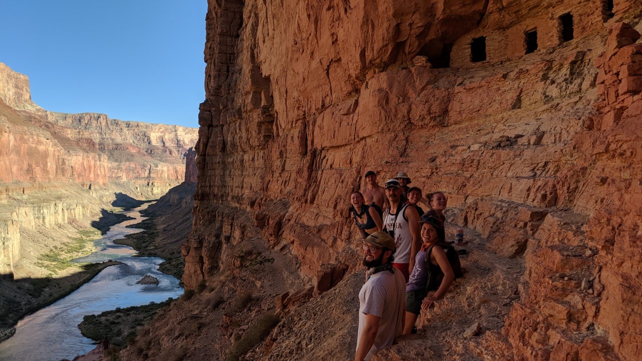
The Geography Transfer Degree at LTCC is designed for students who are interested in solving geospatial problems from an interdisciplinary perspective, linking the natural and social sciences. Students will develop their understanding of the sciences while investigating the legal, economic, and political issues associated with management of the environment. Coursework is designed to align with the major prep and transfer requirements in geography at a variety of institutions. Students are encouraged to meet with a LTCC counselor to ensure that course selections align with the specific transfer requirements of each institution.
Need program details? View the Course Catalog for complete requirements and the Program Map for your personalized course planning guide.
GEOGRAPHIC INFORMATION SYSTEMS
GEOGRAPHIC INFORMATION SYSTEMS (NON-CREDIT)
Cartographers
Also known as “map makers”, cartographers take perceptions of the world and “re-create” them as maps. Cartographers may have experience with methods such as surveying and remote sensing.
Emergency Management Planners
Emergency Management Planners utilize geographic tools such as GIS data and remotely sensed data in order to understand and plan for natural and human-induced hazards.
Environmental Planners
Using tools such as GIS and remote sensing, environmental planners are utilized when planning parks, conservation areas, and also are also used by private sector firms.
GIS Analysts and Specialists
GIS is a booming area of job growth. GIS Analysts and Specialists use GIS software such as ArcMap to study different phenomena of the earth.
Location Analysts
Analyzing the profitability of a location versus another is an essential step for many businesses. Location analysts are also utilized by government and non-profit groups.
Remote Sensing Analysts and Specialists
Looking at and analyzing the world through satellite and aerial images, geographers who utilize remote sensing are a part of a growing field utilized by numerous sources such as NASA, NOAA, etc.
Researchers
Everyday something new is being discovered about the world we live. Researchers with a background in geography may have access to and training with different methodologies which may give their research project the edge.
Teachers
Geography is a fundamental component of a well-rounded K-12 education. Instructors with an established knowledge of geography are desirable to administrators because they provide the opportunity to strengthen a very important aspect of their program.
Transportation Planners and Managers
The science of the flow and ebb of traffic is just as complex as building the infrastructure itself. Transportation Planners and Managers utilize tools such as GIS and surveys in order to understand the transportation needs and wants of an area. This information is then used to plan for future development.
Urban and City Planners
Cities are complex systems with patterns and trends which may be overlooked by the untrained eye. Urban and City Planners study these complexities of an urban environment in order to build new or improve current cities.
There are A NUMBER OF STUDENT SCHOLARSHIPS that you can apply for each spring. Scholarships make it possible to earn money for college that does not ever need to be repaid. While some of LTCC's scholarships are competitive, there is a wide variety available you can apply for for free that are awarded based on all kinds of qualities and interests.
Have a question?
We’re just a call or email away:
Lake Tahoe Community College
One College Drive
South Lake Tahoe, CA 96150
enrollmentservices@ltcc.edu
(530) 541-4660 x 211